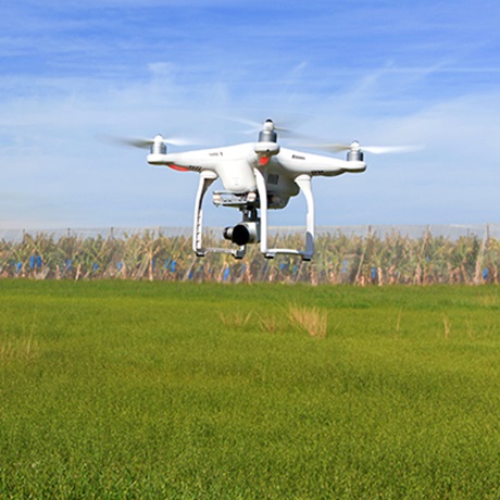
The unmanned aerial vehicle (UAV) market is growing exponentially and putting further pressure on airspace management. International initiatives are seeking airspace management solutions that will bring higher levels of system resilience, safety and security. Such solutions will need to adapt to competition from UAVs to operate in the same airspace, often using ‘pop-up’ airfields, and at the same time deal with new cyber-security threats.
National Beyond visual line of sight Experimentation Corridor (NBEC)
DARTeC is developing, in conjunction with a consortium of partners (Blue Bear Systems Research, Thales and Vodafone) and with oversight from the Civil Aviation Authority (CAA), the National Beyond visual line of sight Experimentation Corridor (NBEC).
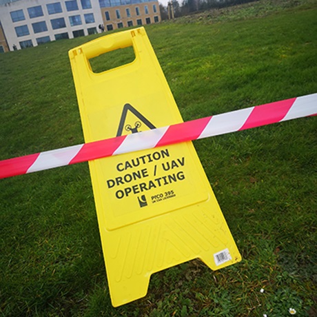
NBEC will provide industry and academia with a unique development facility to help solve the challenges of low altitude mixed (manned and unmanned) flight. NBEC will include an air corridor that will be equipped along its 16-kilometre length with the latest approved airspace management systems, providing an underpinning infrastructure for the development of new technologies such as regional ground-based unmanned traffic management (UTM) systems, in-flight communications and other on-board technologies. Under the funding of the European Space Agency’s Navigation Innovation and Support Programme (NAVISP) – Developing Real World Composite A-PNT Solutions, NBEC is gathering evidence through concept of operation (CONOPS) development and flight trials in order to enable unsegregated beyond visual line of sight (BVLOS) flights. As a partner within the CAA Innovation Hub Sandbox initiative, the outputs (evidence and draft CONOPS) that NBEC has completed to date have been informing national CAA guidelines and processes to enable BVLOS unsegregated flight operations within the UK.
Holographic Radar facility
As a result of collaboration between Aveillant (a Thales company) and Cranfield University, DARTeC will benefit from technological advancements brought by Aveillant’s state of the art Holographic Radar system for drone detection.
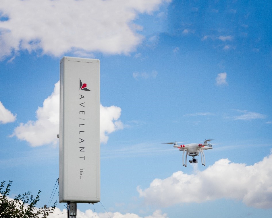
This system is fundamentally different from both conventional mechanically scanning and modern electronically scanning systems and allows for a high resolution, thorough analysis of the skies. This collaboration opens up new perspectives for research and innovation in the area of navigation and surveillance in the shared airspace, with the first step focused on contribution to NBEC facility. DARTeC research in radar systems aims to deliver improved awareness for airspace and ground-based users, such as drones and airport authorities, and resilience of autonomous systems to degradation in satellite-based (GNSS) navigation analysis, bringing enhanced safety of drone operations.
DARTeC research and development activities using Holographic Radar are working towards:
- Reliable drone detection and identification for asset protection;
- Innovative radar system architectures;
- Assurance for positioning, navigation and timing (PNT);
- Intelligent multi-sensor technologies for alternative (to GNSS) PNT.