- DatesSept 2020 - March 2022
- SponsorWelsh Government
- PartnersNatural Resources Wales
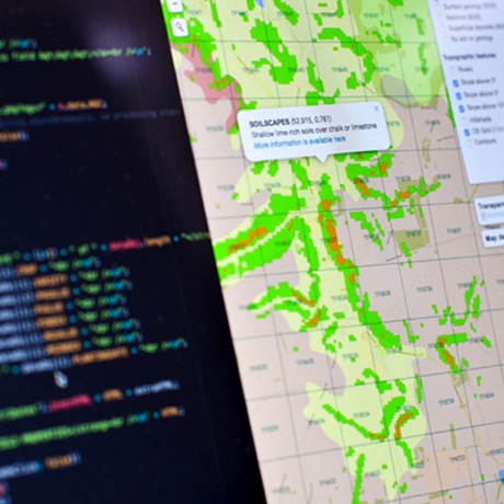
We used a variety of data sources to create a new map of peatland in Wales. The map also shows the depth of the peat and the carbon stock. It also estimated the greenhouse gas (GHG) emissions from the peatland as degraded peat can release GHG and restored peat can store more carbon.
Progress update
In some areas in Wales the peatland is in poor condition and needs to be restored. The map provides a crucial baseline for the National Peatland Action Programme (NPAP), a five year peatland restoration programme for Wales, launched in 2020 by the Welsh Government and delivered by Natural Resources Wales (NRW). The map is already being used directly in the implementation of NPAP and Welsh Government soil policy.
The project is part of the Soil Policy Evidence Programme for the Welsh Government. Download the project report.
The map is freely available on the NRW National Peatland Portal and the Welsh Government's DataMapWales.