Contact Dr Daniel Simms
- Tel: +44 (0) 1234 750111
- Email: d.m.simms@cranfield.ac.uk
- ORCID
Background
I develop new approaches to observing and understanding land-use systems, combining advanced remote sensing with AI to reveal how human activity is reshaping the Earth’s surface and how these dynamics can be redirected to support climate adaptation, food security, and ecological resilience.
Working at the interface of AI, environmental science, and policy, my research integrates diverse and heterogeneous satellite data into coherent, decision-ready characterisations of land-use change. I combine representation learning and signal decomposition with physically grounded approaches to develop robust methods for incomplete, noisy observations, enabling reliable quantification of ecosystem function, recovery, and resilience across scales under environmental stress.
This work helps shift land-use science from fragmented observations toward integrated, data-driven understanding of human–environment interactions, uncovering patterns that directly inform policy and land-use decision-making.
I collaborate internationally across academia, government, and the third sector, contributing to and helping shape initiatives ranging from United Nations programmes and the Landscape Observatory to UK land-use and restoration policy, including the UK Government’s Land Use Framework.
Clients
- United Nations
- Natural Environment Research Council
- Ecom Agroindustrial Corp. Limited
Publications
Articles In Journals
- Laboan BM, Sakrabani R, Yeboah E, Girkin NT, Simms DM, .... (2026). Optimizing co-composting ratios of cocoa pod husk and poultry manure for cocoa organo-mineral fertilizer formulation in the West African cocoa belt. Frontiers in Sustainable Food Systems, 9
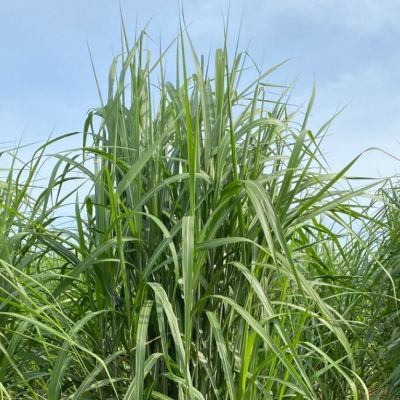
- Joshi N, Simms D & Burgess P. (2025). The application of Google Earth Engine to monitor sugarcane development in India..
- Toumasis N, Simms DM, Rust W, Harris JA, White JR, .... (2024). Emerging resilience metrics in an intensely managed ecological system. Ecological Engineering, 200
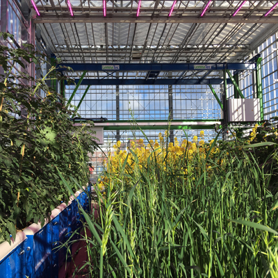
- Okyere FG, Cudjoe DK, Virlet N, Castle M, Riche AB, .... (2024). Hyperspectral imaging for phenotyping plant drought stress and nitrogen interactions using multivariate modeling and machine learning techniques in wheat. Remote Sensing, 16(18)
- Joshi N, Simms DM & Burgess PJ. (2024). Automating the derivation of sugarcane growth stages from Earth observation time series. Remote Sensing, 16(22)
- van der Plas TL, Geikie ST, Alexander DG & Simms DM. (2023). Multi-stage semantic segmentation quantifies fragmentation of small habitats at a landscape scale. Remote Sensing, 15(22)
- Okyere FG, Cudjoe DM, Sadeghi-Tehran P, Virlet N, Riche AB, .... (2023). Machine learning methods for automatic segmentation of images of field-and glasshouse-based plants for high-throughput phenotyping. Plants, 12(10)
- Okyere FG, Cudjoe D, Sadeghi-Tehran P, Virlet N, Riche AB, .... (2023). Modeling the spatial-spectral characteristics of plants for nutrient status identification using hyperspectral data and deep learning methods. Frontiers in Plant Science, 14
- Simms DM, Hamer AM, Zeiler I, Vita L & Waine TW. (2023). Mapping agricultural land in Afghanistan’s opium provinces using a generalised deep learning model and medium resolution satellite imagery. Remote Sensing, 15(19)
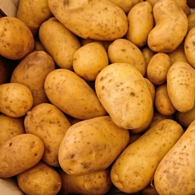
- Sanzo-Miró M, Simms DM, Rezwan FI, Terry LA & Alamar MC. (2023). An integrated approach to control and manage potato black dot disease: a review. American Journal of Potato Research, 100(5)
- Beale J, Grabowski RC, Lokidor PL, Vercruysse K & Simms DM. (2022). Vegetation cover dynamics along two Himalayan rivers: drivers and implications of change. Science of The Total Environment, 849(November)
- Hamer AM, Simms DM & Waine TW. (2021). Replacing human interpretation of agricultural land in Afghanistan with a deep convolutional neural network. International Journal of Remote Sensing, 42(8)
- Simms DM. (2020). Fully convolutional neural nets in-the-wild. Remote Sensing Letters, 11(12)
- Hamer A, Simms D & Waine T. (2020). Using deep learning to transfer knowledge between satellite datasets for automated agricultural land discrimination in Afghanistan.
- Campbell S, Simmons RW, Rickson RJ, Waine TW & Simms DM. (2018). Using Near-Surface Photogrammetry Assessment of Surface Roughness (NSPAS) to assess the effectiveness of erosion control treatments applied to slope forming materials from a mine site in West Africa. Geomorphology, 322
- Simms DM, Waine TW & Taylor JC. (2017). Improved estimates of opium cultivation in Afghanistan using imagery-based stratification. International Journal of Remote Sensing, 38(13)
- Snapir B, Simms DM & Waine TW. (2017). Mapping the expansion of galamsey gold mines in the cocoa growing area of Ghana using optical remote sensing. International Journal of Applied Earth Observation and Geoinformation, 58
- Simms DM, Waine TW & Taylor JC. (2017). Improved estimates of opium cultivation in Afghanistan using imagery-based stratification.
- Simms DM, Waine TW, Taylor JC & Brewer TR. (2016). Image segmentation for improved consistency in image-interpretation of opium poppy. International Journal of Remote Sensing, 37(6)
- Waine TW, Simms DM, Taylor JC & Juniper GR. (2014). Towards improving the accuracy of opium yield estimates with remote sensing. International Journal of Remote Sensing, 35(16)
- Simms DM, Waine TW, Taylor JC & Juniper GR. (2014). The application of time-series MODIS NDVI profiles for the acquisition of crop information across Afghanistan. International Journal of Remote Sensing, 35(16)
- Pourabdollah A, Leibovici DG, Simms DM, Tempel P, Hallett SH, .... (2012). Towards a standard for soil and terrain data exchange: SoTerML. Computers & Geosciences, 45
- Taylor JC, Waine TW, Juniper GR, Simms DM & Brewer TR. (2010). Survey and monitoring of opium poppy and wheat in Afghanistan: 2003-2009. Remote Sensing Letters, 1(3)
Conference Papers
- Simms DM & Waine TW. (2016). Opium yield estimates in Afghanistan using remote sensing
- Simms DM & Hallett SH. (2011). WISP- scenario-based dissemination toolkits; Disseminating the outcomes of CREW
- Simms DM & Hallett S. (2011). Development of a web-based portal for supporting community resilience to extreme weather events.