Contact Ann Holden
- Tel: +44 (0) 1234 750111
- Email: a.m.holden@cranfield.ac.uk
- ORCID
- ResearchGate
Background
Ann Holden has considerable experience in GIS and software development in environmental based research. Ann gained a BSc honours degree in Geography and Maths at Keele University, with a distinction in Computing. After working as a commercial software developer for several years, she returned to academia and graduated with a MSc in Geographical Information Management at Cranfield University.
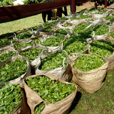
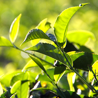
Subsequently, in 2002, Ann joined Cranfield staff as an GIS developer. In this role she has applies her expertise to a wide range of research projects, where geospatial analysis, model development and visualisation have contributed to research impact. These include tea yield modelling, pesticide fate (CatchIS), urban observatory, energy use efficiency, environmental informatics, soil mapping and databases (e.g. LandIS - Land Information System ), and life cycle assessment. Ann also shares her expertise through the masters taught programme, running tutorials, supporting seminars and co-supervising student projects.
A key interest is creating practical environmentally based tools using the latest techniques in GIS and software.
Current activities
Ann is currently working on several research projects including the Cuppa-Tea project, which adapted a tea yield model to a cloud-based solution using dynamic climate and harvest data.
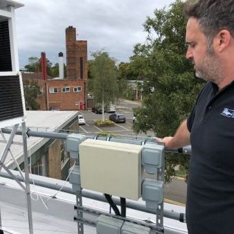
Ann has also developed a database, backend scripts and web-based visualisations for the urban observatory, Cranfield University's Living Laboratory and Urban Observatory - Sensor Data, which is a network of sensors across the campus and stretching out across the Cambridge to Oxford arc. This is an ongoing project and many more sensors, api's and visualisations are expected to be added in the coming year.
Ann works closely with the LandIS team, LandIS: The Land Information System, having developed the soil site report, and provided GIS support for the Welsh ALC map and other soil maps.
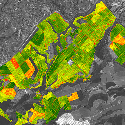
Ann has recently developed a storymap, Peterborough integrated renewables infrastructure (PIRI), using ArcGIS online for the Peterborough Integrated Renewables Infrastructure project to present the project outputs to a wide audience.
Ann provides teaching support for the programming and web elements of the Cranfield's Geographical Information Management MSc course.
Clients
- Severn Trent PLC
- Yorkshire Water
- Anglian Water
- United Utilities Group PLC
- Environment Agency
- Unilever PLC
Publications
Articles In Journals
- Giannitsopoulos ML, Burgess PJ, Sakrabani R, Holden A, Saini H, .... (2023). Modelling the effects of soil organic content and pH on the yield responses of tea to nitrogen fertilizer. Agricultural Systems, 212(December)
- Foereid B, Bellamy PH, Holden A & Kirk GJD. (2012). On the initialization of soil carbon models and its effects on model predictions for England and Wales. European Journal of Soil Science, 63(1)