- DatesNovember 2021 to End of March 2022
- SponsorThe Environment Agency
The Environment Agency uses dispersion models to model pollutants from diffuse sources. Modelling and assessment depend heavily on having the right information on how and where pollutants originate, travel, disperse and deposit; these processes are strongly influenced by mean air flows and the turbulent fluctuations they contain.
Accordingly, the Environment Agency’s Air Quality work is critically dependent on understanding and measuring atmospheric flow characteristics at the landscape scale. Understanding and measuring atmospheric flow characteristics at the landscape scale is challenging; conventional methods rely either on substantial masts or towers bearing sonic anemometers which provide a limited number of point measurements, or else on doppler lidar which, while it can remotely map a flow field, is cumbersome and very expensive. Flow measurement is therefore a limiting factor for our work.
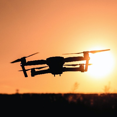
This project explores the potential of drone technology to become the basis for ground truthing the relationship between deposition and the predicted air flows. This will increase the Environment Agency's practical ability to measure air movements, and hence their ability to make the measurements necessary to, for example, interpret monitoring data, predict air pollution movements and put in place representative monitoring around complex sites.